2011
SK1168 : Highstool Lane
taken 13 years ago, near to Chelmorton, Derbyshire, England
This is 1 of 2 images, with title Highstool Lane in this square
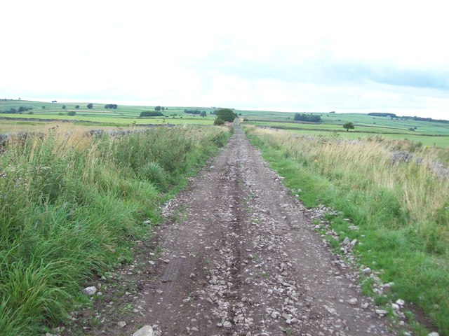
Highstool Lane
Nondescript unmade road which does at least have the distinction of being a constituent section of the Midshires Way.
 Map © Crown Copyright")
TIP: Click the map for more Large scale mapping
- Grid Square
- SK1168, 16 images (more nearby 🔍)
- Photographer
- Jonathan Clitheroe (more nearby)
- Date Taken
- Sunday, 14 August, 2011 (more nearby)
- Submitted
- Sunday, 14 August, 2011
- Subject Location
-
OSGB36:
 SK 1173 6895 [10m precision]
WGS84: 53:13.0487N 1:49.5475W - Camera Location
-
OSGB36: SK 1169 6886
- View Direction
- North-northeast (about 22 degrees)