2011
SO3475 : Track to Woodside
taken 13 years ago, near to Bucknell, Shropshire, England
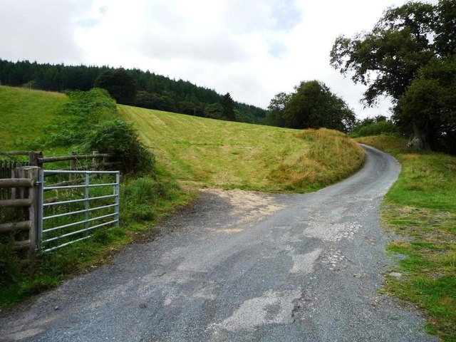
Track to Woodside
Cutting across a mown field.
 Map © Crown Copyright")
TIP: Click the map for more Large scale mapping
- Grid Square
- SO3475, 44 images (more nearby 🔍)
- Photographer
- Christine Johnstone (more nearby)
- Date Taken
- Monday, 8 August, 2011 (more nearby)
- Submitted
- Monday, 15 August, 2011
- Subject Location
-
OSGB36:
 SO 3408 7517 [10m precision]
WGS84: 52:22.2355N 2:58.1789W - Camera Location
-
OSGB36: SO 3411 7516
- View Direction
- West-northwest (about 292 degrees)