2011
TQ2368 : Church of St Saviour, Raynes Park
taken 13 years ago, near to New Malden, Kingston Upon Thames, England
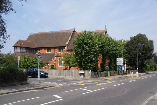
Church of St Saviour, Raynes Park
Situated on Grand Drive, the B279.
 Map © Crown Copyright")
TIP: Click the map for more Large scale mapping
- Grid Square
- TQ2368, 60 images (more nearby 🔍)
- Photographer
- Bill Boaden (more nearby)
- Date Taken
- Monday, 1 August, 2011 (more nearby)
- Submitted
- Monday, 15 August, 2011
- Subject Location
-
OSGB36:
 TQ 2322 6884 [10m precision]
WGS84: 51:24.3126N 0:13.7923W - Camera Location
-
OSGB36: TQ 2325 6880
- View Direction
- North-northwest (about 337 degrees)