2011
NN5832 : South Loch Tay road, Auchmore
taken 13 years ago, near to Auchmore, Stirling, Scotland
This is 1 of 2 images, with title South Loch Tay road, Auchmore in this square
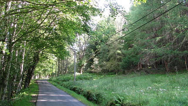
South Loch Tay road, Auchmore
The woodland on the right may be felled soon. The road is used by the National Cycle Network, route 7.
 Map © Crown Copyright")
TIP: Click the map for more Large scale mapping
- Grid Square
- NN5832, 19 images (more nearby 🔍)
- Photographer
- Richard Webb (more nearby)
- Date Taken
- Monday, 15 August, 2011 (more nearby)
- Submitted
- Monday, 15 August, 2011
- Subject Location
-
OSGB36:
 NN 5860 3236 [10m precision]
WGS84: 56:27.7262N 4:17.7853W - Camera Location
-
OSGB36: NN 5858 3233
- View Direction
- Northeast (about 45 degrees)