2006
SS1495 : The south of Caldey Island
taken 18 years ago, 4 km SE of Penally, Pembrokeshire/Sir Benfro, Wales
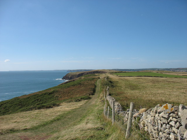
The south of Caldey Island
This path, technically permissive only, leads towards Red Berry Bay.
 Map © Crown Copyright")
TIP: Click the map for more Large scale mapping
- Grid Square
- SS1495, 58 images (more nearby 🔍)
- Photographer
- David Purchase (more nearby)
- Date Taken
- Friday, 15 September, 2006 (more nearby)
- Submitted
- Wednesday, 17 August, 2011
- Subject Location
-
OSGB36:
 SS 1410 9597 [10m precision]
WGS84: 51:37.9047N 4:41.2486W - Camera Location
-
OSGB36: SS 1424 9594
- View Direction
- West-northwest (about 292 degrees)