2011
NG4236 : Belt and braces bridge
taken 13 years ago, 3 km from Mugeary, Isle of Skye, Scotland
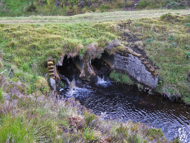
Belt and braces bridge
The burn is Allt nam Meirleach, pictured again here: NG4236 : Allt nam Meirleach. Such burns are liable to increased flow during periods of heavy rain, but the large double pipes under the forest track here would cope with a considerable flood.
 Map © Crown Copyright")
TIP: Click the map for more Large scale mapping
- Grid Square
- NG4236, 8 images (more nearby 🔍)
- Photographer
- Richard Dorrell (more nearby)
- Date Taken
- Monday, 15 August, 2011 (more nearby)
- Submitted
- Thursday, 18 August, 2011
- Subject Location
-
OSGB36:
 NG 4272 3619 [10m precision]
WGS84: 57:20.6014N 6:16.6701W - Camera Location
-
OSGB36: NG 4273 3620
- View Direction
- Southwest (about 225 degrees)