2011
NG5031 : Allt Na Beiste
taken 13 years ago, near to Sconser, Isle of Skye, Scotland
This is 1 of 2 images, with title Allt Na Beiste in this square
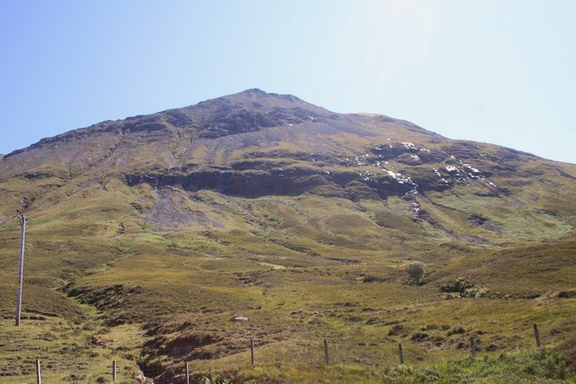
Allt Na Beiste
The course of the Burn of Allt na Bieste on the left coming off the slopes of Glamaig.
 Map © Crown Copyright")
TIP: Click the map for more Large scale mapping
- Grid Square
- NG5031, 12 images (more nearby 🔍)
- Photographer
- Andrew Wood (more nearby)
- Date Taken
- Wednesday, 27 July, 2011 (more nearby)
- Submitted
- Thursday, 18 August, 2011
- Subject Location
-
OSGB36:
 NG 5089 3107 [10m precision]
WGS84: 57:18.1213N 6:8.2372W - Camera Location
-
OSGB36: NG 5081 3123
- View Direction
- South-southeast (about 157 degrees)