2011
TM2450 : B1079 Woodbridge Road, Hasketon
taken 13 years ago, near to Hasketon, Suffolk, England
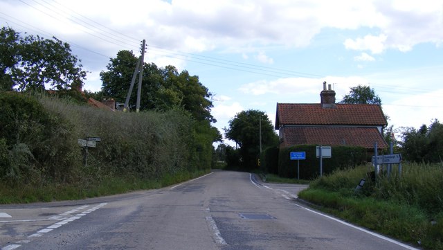
B1079 Woodbridge Road, Hasketon
Looking towards Woodbridge
 Map © Crown Copyright")
TIP: Click the map for more Large scale mapping
- Grid Square
- TM2450, 116 images (more nearby 🔍)
- Photographer
- Geographer (more nearby)
- Date Taken
- Monday, 15 August, 2011 (more nearby)
- Submitted
- Friday, 19 August, 2011
- Subject Location
-
OSGB36:
 TM 2406 5004 [10m precision]
WGS84: 52:6.1972N 1:16.2141E - Camera Location
-
OSGB36: TM 2406 5004
- View Direction
- East-southeast (about 112 degrees)