2011
TQ4772 : Penfold Lane footbridge
taken 13 years ago, near to North Cray, Bexley, England
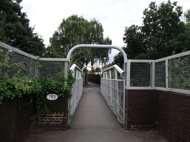
Penfold Lane footbridge
Penfold Lane is a footpath leading from Hurst Road towards Longmead Drive.
It passes over the railway near Albany Park.
It passes over the railway near Albany Park.
 Map © Crown Copyright")
TIP: Click the map for more Large scale mapping
- Grid Square
- TQ4772, 72 images (more nearby 🔍)
- Photographer
- David Anstiss (more nearby)
- Date Taken
- Monday, 15 August, 2011 (more nearby)
- Submitted
- Friday, 19 August, 2011
- Subject Location
-
OSGB36:
 TQ 4765 7281 [10m precision]
WGS84: 51:26.1033N 0:7.3662E - Camera Location
-
OSGB36: TQ 4766 7283
- View Direction
- South-southwest (about 202 degrees)