2011
TQ4853 : Cattle track, Penn Farm
taken 13 years ago, near to Whitley Row, Kent, England
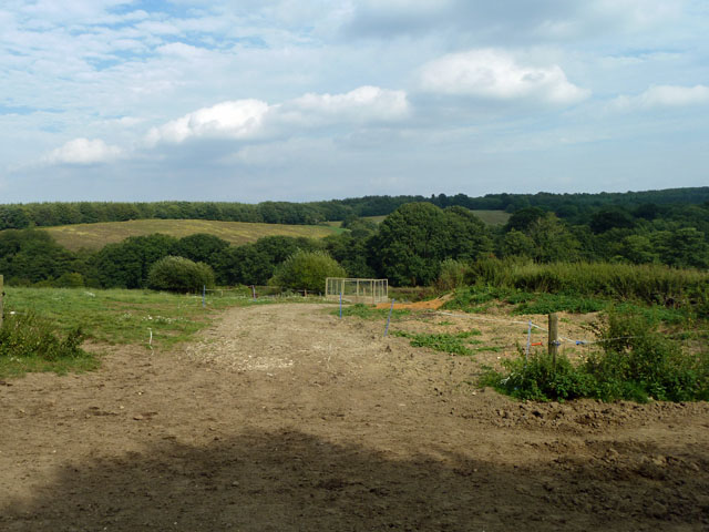
Cattle track, Penn Farm
This well-hoofed way is followed by cattle from fields to the west of Penn Lane going to and from Penn Farm round to the right on the east of the lane. They are confined to this route by electric fencing which looks as if it may span across Penn Lane when required.
 Map © Crown Copyright")
TIP: Click the map for more Large scale mapping
- Grid Square
- TQ4853, 24 images (more nearby 🔍)
- Photographer
- Robin Webster (more nearby)
- Date Taken
- Friday, 19 August, 2011 (more nearby)
- Submitted
- Friday, 19 August, 2011
- Subject Location
-
OSGB36:
 TQ 4848 5333 [10m precision]
WGS84: 51:15.5881N 0:7.5949E - Camera Location
-
OSGB36: TQ 48463 53335
- View Direction
- EAST (about 90 degrees)