2011
TQ7672 : Main Road, Chattenden
taken 13 years ago, near to Chattenden, Medway, England
Main Road, Chattenden
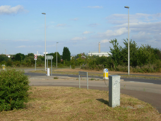
At the eastern end of Chattenden village Main Road curls round to the roundabout here before continuing to Hoo St Werburgh or giving access to the A228. The chimney at Grain Power Station can be seen in the distance.
 Map © Crown Copyright")
TIP: Click the map for more Large scale mapping
- Grid Square
- TQ7672, 24 images (more nearby 🔍)
- Photographer
- Stephen McKay (more nearby)
- Date Taken
- Tuesday, 16 August, 2011 (more nearby)
- Submitted
- Saturday, 20 August, 2011
- Subject Location
-
OSGB36:
 TQ 7656 7200 [10m precision]
WGS84: 51:25.1709N 0:32.2725E - Camera Location
-
OSGB36: TQ 7654 7200
- View Direction
- East-northeast (about 67 degrees)