2011
NH7650 : Fields by Tornagrain
taken 13 years ago, near to Tornagrain, Highland, Scotland
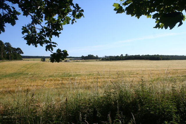
Fields by Tornagrain
Fields by the A9 on the edge of Tornagrain Wood by Petty Church.
 Map © Crown Copyright")
TIP: Click the map for more Large scale mapping
- Grid Square
- NH7650, 25 images (more nearby 🔍)
- Photographer
- Andrew Wood (more nearby)
- Date Taken
- Wednesday, 27 July, 2011 (more nearby)
- Submitted
- Saturday, 20 August, 2011
- Subject Location
-
OSGB36:
 NH 7661 5015 [10m precision]
WGS84: 57:31.4780N 4:3.7226W - Camera Location
-
OSGB36: NH 7666 5017
- View Direction
- West-southwest (about 247 degrees)