2011
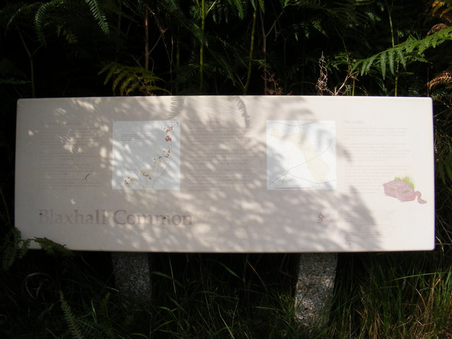
TM3856 : Blaxhall Common Information Board
taken 13 years ago, near to Blaxhall, Suffolk, England
This is 1 of 2 images, with title Blaxhall Common Information Board in this square
 Map © Crown Copyright")
TIP: Click the map for more Large scale mapping
- Grid Square
- TM3856, 62 images (more nearby 🔍)
- Photographer
- Geographer (more nearby)
- Date Taken
- Tuesday, 16 August, 2011 (more nearby)
- Submitted
- Sunday, 21 August, 2011
- Subject Location
-
OSGB36:
 TM 3818 5657 [10m precision]
WGS84: 52:9.3596N 1:28.8347E - Camera Location
-
OSGB36: TM 3818 5657
- View Direction
- North-northeast (about 22 degrees)