2011
NN6635 : South Loch Tay Road
taken 13 years ago, near to Ardeonaig, Stirling, Scotland
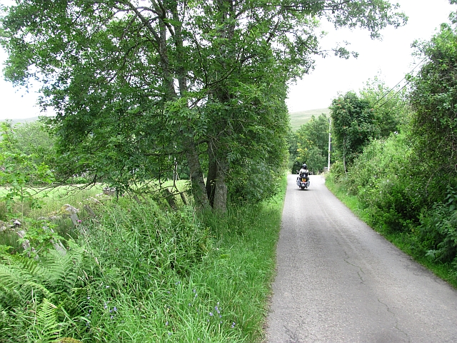
South Loch Tay Road
Approaching Ardeonaig from the west on a Harley.
 Map © Crown Copyright")
TIP: Click the map for more Large scale mapping
- Grid Square
- NN6635, 29 images (more nearby 🔍)
- Photographer
- Richard Webb (more nearby)
- Date Taken
- Monday, 15 August, 2011 (more nearby)
- Submitted
- Sunday, 21 August, 2011
- Subject Location
-
OSGB36:
 NN 6662 3573 [10m precision]
WGS84: 56:29.6818N 4:10.0858W - Camera Location
-
OSGB36: NN 6655 3574
- View Direction
- EAST (about 90 degrees)