2011
SE2338 : Track - Church Lane
taken 13 years ago, near to Horsforth, Leeds, England
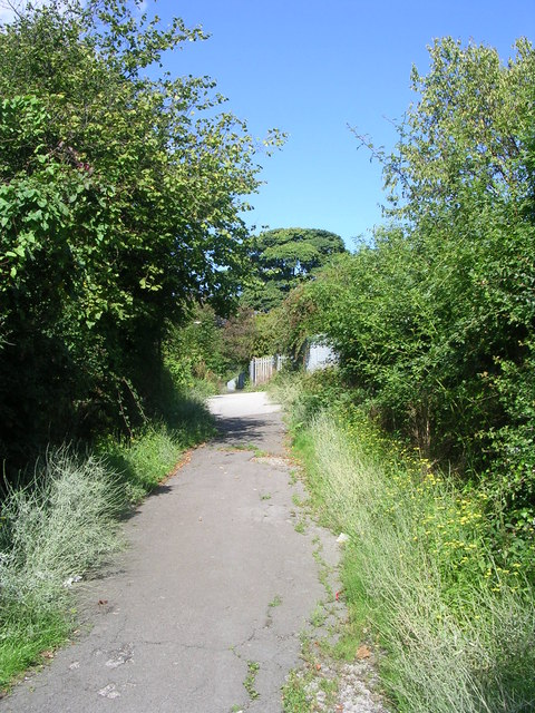
Track - Church Lane
 Map © Crown Copyright")
TIP: Click the map for more Large scale mapping
- Grid Square
- SE2338, 272 images (more nearby 🔍)
- Photographer
- Betty Longbottom (more nearby)
- Date Taken
- Monday, 22 August, 2011 (more nearby)
- Submitted
- Monday, 22 August, 2011
- Subject Location
-
OSGB36:
 SE 2375 3830 [10m precision]
WGS84: 53:50.4246N 1:38.4330W - Camera Location
-
OSGB36: SE 2375 3830
- View Direction
- Northwest (about 315 degrees)