2011
TR2538 : Folkestone Warren
taken 13 years ago, near to Capel-le-Ferne, Kent, England
This is 1 of 16 images, with title Folkestone Warren in this square
Folkestone Warren
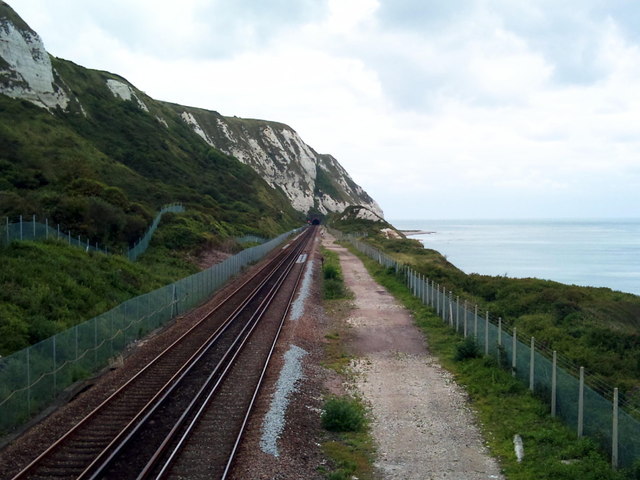
Folkestone Warren, Southeastern Mainline seen from footbridge. Western mouth of Abbot's Cliff Tunnel visible in the distance.
 Map © Crown Copyright")
TIP: Click the map for more Large scale mapping
- Grid Square
- TR2538, 137 images (more nearby 🔍)
- Photographer
- Raimund Zozmann (more nearby)
- Contributed by
- Helmut Zozmann (more nearby)
- Date Taken
- Wednesday, 13 July, 2011 (more nearby)
- Submitted
- Monday, 22 August, 2011
- Subject Location
-
OSGB36:
 TR 2597 3837 [10m precision]
WGS84: 51:6.0048N 1:13.5705E - Camera Location
-
OSGB36: TR 2591 3836
- View Direction
- EAST (about 90 degrees)