2011
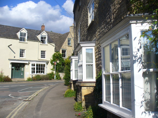
SP3519 : Dyer's Hill
taken 13 years ago, near to Charlbury, Oxfordshire, England
This is 1 of 3 images, with title Dyer's Hill in this square
 Map © Crown Copyright")
TIP: Click the map for more Large scale mapping
- Grid Square
- SP3519, 198 images (more nearby 🔍)
- Photographer
- Colin Smith (more nearby)
- Date Taken
- Sunday, 21 August, 2011 (more nearby)
- Submitted
- Monday, 22 August, 2011
- Subject Location
-
OSGB36:
 SP 3559 1961 [10m precision]
WGS84: 51:52.4359N 1:29.0669W - Camera Location
-
OSGB36: SP 3558 1960
- View Direction
- East-northeast (about 67 degrees)