2011
TQ3485 : Clarence Road, Lower Clapton
taken 13 years ago, near to Hackney, England
This is 1 of 2 images, with title Clarence Road, Lower Clapton in this square
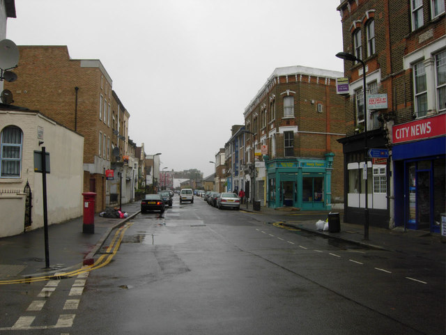
Clarence Road, Lower Clapton
Looking along Clarence Road at the junction with Downs Park Road.
 Map © Crown Copyright")
TIP: Click the map for more Large scale mapping
- Grid Square
- TQ3485, 209 images (more nearby 🔍)
- Photographer
- Stephen McKay (more nearby)
- Date Taken
- Tuesday, 23 August, 2011 (more nearby)
- Submitted
- Tuesday, 23 August, 2011
- Subject Location
-
OSGB36:
 TQ 3486 8558 [10m precision]
WGS84: 51:33.1798N 0:3.3743W - Camera Location
-
OSGB36: TQ 3485 8556
- View Direction
- NORTH (about 0 degrees)