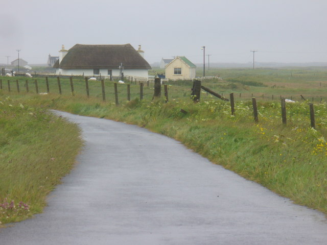
2011

NF7746 : Iochdar

taken 13 years ago, near to Eochar, South Uist & Benbecula, Na h-Eileanan an Iar, Scotland

Iochdar
Iochdar
Scattered crofting community at the north-west corner of South Uist.
LinkExternal link (Archive LinkExternal link )

Creative Commons Licence [Some Rights Reserved]   © Copyright Colin Smith and licensed for reuse under this Creative Commons Licence.
Geographical Context: Village, Rural settlement Roads, Road transport other tags: Croft Click a tag, to view other nearby images.
This photo is linked from: Automatic Clusters: · Iochdar [11] · South Uist [5] ·
1:50,000 Modern Day Landranger(TM) Map © Crown Copyright
+
+
1:50,000 Modern Day Landranger(TM) Map © Crown Copyright
TIP: Click the map for more Large scale mapping
Grid Square
NF7746, 16 images   (more nearby 🔍)
Photographer
Colin Smith   (more nearby)
Date Taken
Sunday, 17 July, 2011   (more nearby)
Submitted
Wednesday, 24 August, 2011
Subject Location
OSGB36: geotagged! NF 7761 4636 [10m precision]
WGS84: 57:23.5782N 7:22.1080W
Camera Location
OSGB36: geotagged! NF 7754 4640
View Direction
East-southeast (about 112 degrees)
Clickable map
+
NW N NE
W Go E
SW S SE
Image classification(about): Geograph
This page has been viewed about 39 times
You are not logged in login | register