2011
SO4173 : View over ploughsoil above Leintwardine
taken 13 years ago, near to Downton on The Rock, County of Herefordshire, England
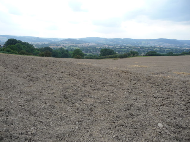
View over ploughsoil above Leintwardine
The ploughed field falls away down towards the Teme valley and Leintwardine village.
 Map © Crown Copyright")
TIP: Click the map for more Large scale mapping
- Grid Square
- SO4173, 29 images (more nearby 🔍)
- Photographer
- Jeremy Bolwell (more nearby)
- Date Taken
- Tuesday, 23 August, 2011 (more nearby)
- Submitted
- Wednesday, 24 August, 2011
- Subject Location
-
OSGB36:
 SO 4195 7389 [10m precision]
WGS84: 52:21.5987N 2:51.2309W - Camera Location
-
OSGB36: SO 4197 7389
- View Direction
- West-northwest (about 292 degrees)