2011

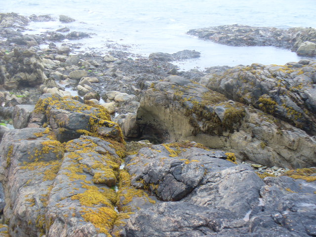
NF7030 : Coastline at Geodha Garbh

taken 13 years ago, 3 km from Bornais, South Uist & Benbecula, Na h-Eileanan an Iar, Scotland

Coastline at Geodha Garbh
Rocky promontory at the end of Rubha Aird a' Mhuile.
LinkExternal link (Archive LinkExternal link )

Creative Commons Licence [Some Rights Reserved]   © Copyright Colin Smith and licensed for reuse under this Creative Commons Licence.
Geographical Context: Coastal other tags: Rocks Click a tag, to view other nearby images.
This photo is linked from: Automatic Clusters: · Coastline at Geodha [2] · Geodha Garbh [2] ·
1:50,000 Modern Day Landranger(TM) Map © Crown Copyright
+
+
1:50,000 Modern Day Landranger(TM) Map © Crown Copyright
TIP: Click the map for more Large scale mapping
Grid Square
NF7030, 6 images   (more nearby 🔍)
Photographer
Colin Smith   (more nearby)
Date Taken
Monday, 18 July, 2011   (more nearby)
Submitted
Thursday, 25 August, 2011
Subject Location
OSGB36: geotagged! NF 7087 3003 [10m precision]
WGS84: 57:14.5278N 7:27.5004W
Camera Location
OSGB36: geotagged! NF 7090 3001
View Direction
West-northwest (about 292 degrees)
Clickable map
+
NW N NE
W Go E
SW S SE
Image classification(about): Geograph
This page has been viewed about 9 times
You are not logged in login | register