2011
NY6764 : Farmland and plantation west of Hardriggs
taken 13 years ago, near to Greenhead, Northumberland, England
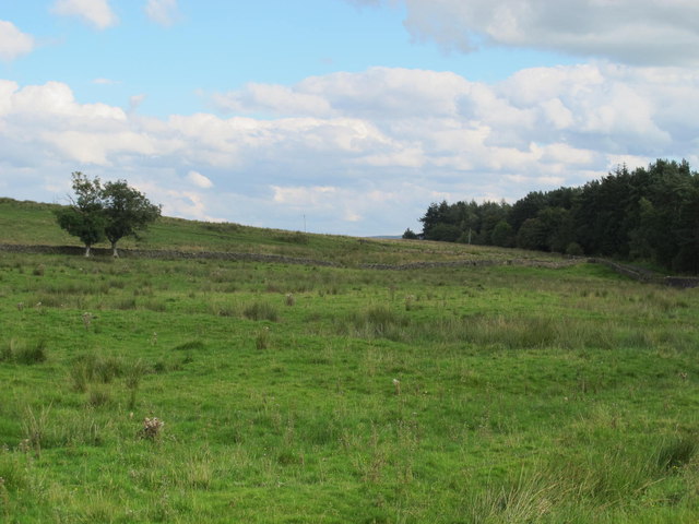
Farmland and plantation west of Hardriggs
 Map © Crown Copyright")
TIP: Click the map for more Large scale mapping
- Grid Square
- NY6764, 13 images (more nearby 🔍)
- Photographer
- Mike Quinn (more nearby)
- Date Taken
- Thursday, 25 August, 2011 (more nearby)
- Submitted
- Thursday, 25 August, 2011
- Subject Location
-
OSGB36:
 NY 6799 6492 [10m precision]
WGS84: 54:58.6711N 2:30.0988W - Camera Location
-
OSGB36: NY 67793 64958
- View Direction
- EAST (about 90 degrees)