2011
TL5545 : Icknield Way
taken 13 years ago, near to Hadstock, Essex, England
Icknield Way
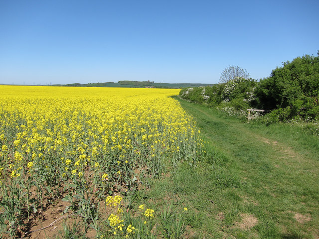
Following a bridleway towards Linton. the Icknield Way runs from Ivinghoe Beacon in Buckinghamshire to Knettishall Heath in Norfolk. See Link
 Map © Crown Copyright")
TIP: Click the map for more Large scale mapping
- Grid Square
- TL5545, 27 images (more nearby 🔍)
- Photographer
- Hugh Venables (more nearby)
- Date Taken
- Sunday, 1 May, 2011 (more nearby)
- Submitted
- Sunday, 28 August, 2011
- Subject Location
-
OSGB36:
 TL 5530 4540 [10m precision]
WGS84: 52:5.1102N 0:15.9089E - Camera Location
-
OSGB36: TL 5527 4536
- View Direction
- Northeast (about 45 degrees)