2011
SH6355 : Snowdon's Pyg Track
taken 13 years ago, 5 km NNE of Plas Gwynant, Gwynedd, Wales
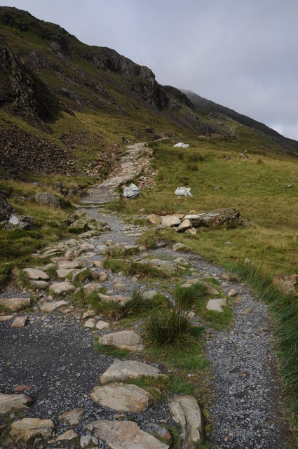
Snowdon's Pyg Track
 Map © Crown Copyright")
TIP: Click the map for more Large scale mapping
- Grid Square
- SH6355, 88 images (more nearby 🔍)
- Photographer
- Philip Halling (more nearby)
- Date Taken
- Saturday, 20 August, 2011 (more nearby)
- Submitted
- Sunday, 28 August, 2011
- Subject Location
-
OSGB36:
 SH 6384 5537 [10m precision]
WGS84: 53:4.6888N 4:2.0447W - Camera Location
-
OSGB36: SH 6388 5536
- View Direction
- WEST (about 270 degrees)