2011
SU0356 : B3098 near Urchfont
taken 13 years ago, near to Urchfont, Wiltshire, England
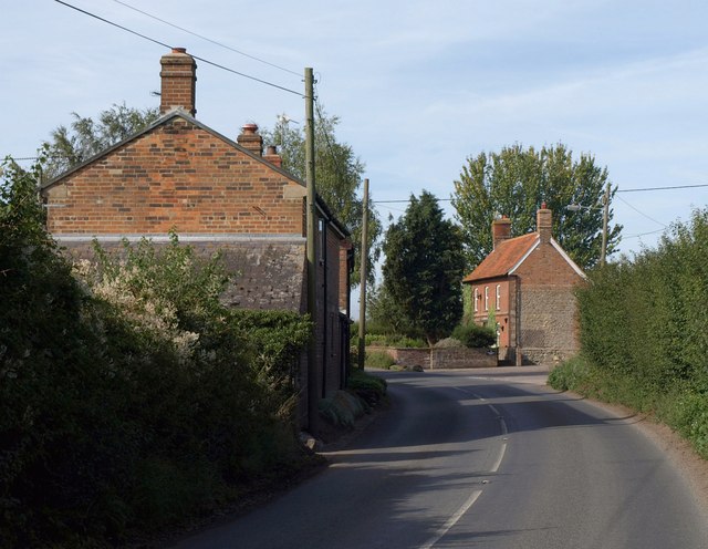
B3098 near Urchfont
The road west of Urchfont bends past cottages at New End.
 Map © Crown Copyright")
TIP: Click the map for more Large scale mapping
- Grid Square
- SU0356, 18 images (more nearby 🔍)
- Photographer
- Derek Harper (more nearby)
- Date Taken
- Monday, 22 August, 2011 (more nearby)
- Submitted
- Monday, 29 August, 2011
- Subject Location
-
OSGB36:
 SU 0341 5668 [10m precision]
WGS84: 51:18.5536N 1:57.1478W - Camera Location
-
OSGB36: SU 0348 5672
- View Direction
- West-southwest (about 247 degrees)