2011
SO2727 : View south-east along a footpath below Bal-Mawr
taken 13 years ago, near to Llanthony, Monmouthshire/Sir Fynwy, Wales
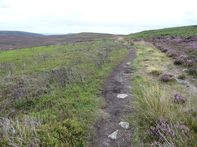
View south-east along a footpath below Bal-Mawr
To the left of the path the heather has been burned back and whinberry seems to be regenerating. In the far distance the summit of the Skirrid Mountain / Ysgyryd Fawr can be seen, near Abergavenny.
 Map © Crown Copyright")
TIP: Click the map for more Large scale mapping
- Grid Square
- SO2727, 19 images (more nearby 🔍)
- Photographer
- Jeremy Bolwell (more nearby)
- Date Taken
- Monday, 29 August, 2011 (more nearby)
- Submitted
- Monday, 29 August, 2011
- Subject Location
-
OSGB36:
 SO 2722 2745 [10m precision]
WGS84: 51:56.4463N 3:3.6088W - Camera Location
-
OSGB36: SO 2721 2749
- View Direction
- South-southeast (about 157 degrees)