2011
SU0655 : Field by Redhorn Plantation
taken 13 years ago, near to Wedhampton, Wiltshire, England
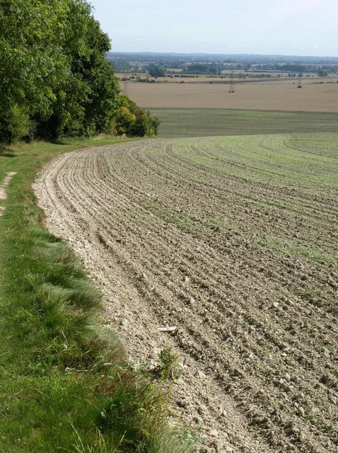
Field by Redhorn Plantation
Looking in the opposite direction to SU0655 : Bridleway by Redhorn Plantation, with bridleway CHIR21 descending between wood and tilled field towards Chirton.
 Map © Crown Copyright")
TIP: Click the map for more Large scale mapping
- Grid Square
- SU0655, 17 images (more nearby 🔍)
- Photographer
- Derek Harper (more nearby)
- Date Taken
- Monday, 22 August, 2011 (more nearby)
- Submitted
- Monday, 29 August, 2011
- Subject Location
-
OSGB36:
 SU 062 559 [100m precision]
WGS84: 51:18.1314N 1:54.7471W - Camera Location
-
OSGB36: SU 0610 5588
- View Direction
- East-northeast (about 67 degrees)