2011
NG4271 : Moorland below Sgurr Mor
taken 13 years ago, near to Solitote, Isle of Skye, Scotland
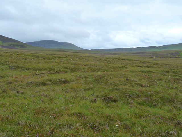
Moorland below Sgurr Mor
Looking from the north-east corner of the square. The distant hill is Creag Sneosdal.
 Map © Crown Copyright")
TIP: Click the map for more Large scale mapping
- Grid Square
- NG4271, 11 images (more nearby 🔍)
- Photographer
- John Allan (more nearby)
- Date Taken
- Monday, 29 August, 2011 (more nearby)
- Submitted
- Tuesday, 30 August, 2011
- Subject Location
-
OSGB36:
 NG 427 717 [100m precision]
WGS84: 57:39.7199N 6:18.8603W - Camera Location
-
OSGB36: NG 429 719
- View Direction
- Southwest (about 225 degrees)