2011
NS4262 : Coal Miners' Memorial
taken 13 years ago, near to Johnstone, Renfrewshire, Scotland
This is 1 of 2 images, with title Coal Miners' Memorial in this square
Coal Miners' Memorial
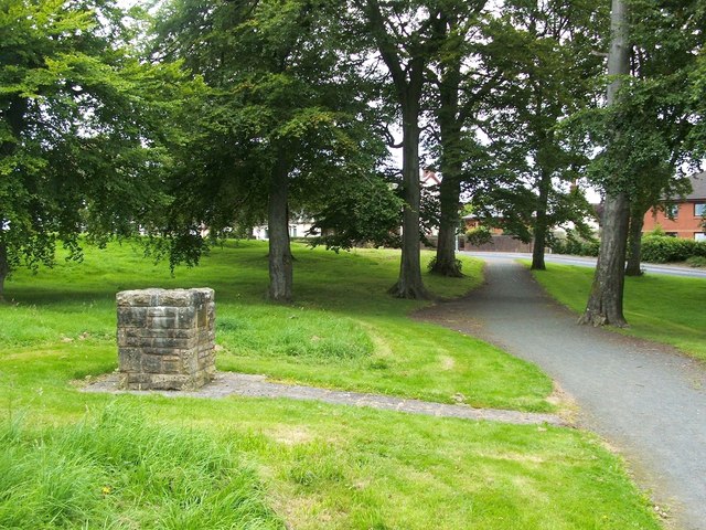
The Johnstone and Elderslie Coal Miners' Memorial, to the left of the path, is located in Wee Wood, which is in the angle between Quarrelton Road (visible in the background) and Beith Road. For another view, see NS4262 : Coal Miners' Memorial.
"This cairn commemorates the 7 miners who lost their lives in the Quarrelton Pit Disaster in May 1818 together with the 5 men who perished in the Benston Pit Disaster in October 1860."
The "Ordnance Gazetteer of Scotland" (1885) describes Quarrelton as "a collier village in the SW of Abbey parish, Renfrewshire"; the memorial cairn is a reminder of the risks associated with that industry.
In the disaster of May 1818, a pit was suddenly flooded; after more than week, two men were rescued. The circumstances are described in detail at Link (Scottish Mining website); there, seven men are said to have been trapped, of whom two were eventually rescued, and five died.
Five men died in the Benstone Pit Disaster (also spelled Benston); again, the cause was flooding of the mine. For full details, see Link (again, at the Scottish Mining website).
"This cairn commemorates the 7 miners who lost their lives in the Quarrelton Pit Disaster in May 1818 together with the 5 men who perished in the Benston Pit Disaster in October 1860."
The "Ordnance Gazetteer of Scotland" (1885) describes Quarrelton as "a collier village in the SW of Abbey parish, Renfrewshire"; the memorial cairn is a reminder of the risks associated with that industry.
In the disaster of May 1818, a pit was suddenly flooded; after more than week, two men were rescued. The circumstances are described in detail at Link
Five men died in the Benstone Pit Disaster (also spelled Benston); again, the cause was flooding of the mine. For full details, see Link
Memorial cairn
The cairn commemorates those who died in the Quarrelton Pit Disaster (May 1818) and those who perished in the Benstone Pit Disaster (October 1860).
 Map © Crown Copyright")
TIP: Click the map for more Large scale mapping
- Grid Square
- NS4262, 54 images (more nearby 🔍)
- Photographer
- Lairich Rig (more nearby)
- Date Taken
- Monday, 22 August, 2011 (more nearby)
- Submitted
- Wednesday, 31 August, 2011
- Subject Location
-
OSGB36:
 NS 4249 6231 [10m precision]
WGS84: 55:49.6950N 4:30.9694W - Camera Location
-
OSGB36: NS 4248 6230
- View Direction
- Northeast (about 45 degrees)