2011
NZ2269 : Gosforth junction, A1
taken 13 years ago, 3 km from Gosforth, Newcastle Upon Tyne, England
This is 1 of 2 images, with title Gosforth junction, A1 in this square
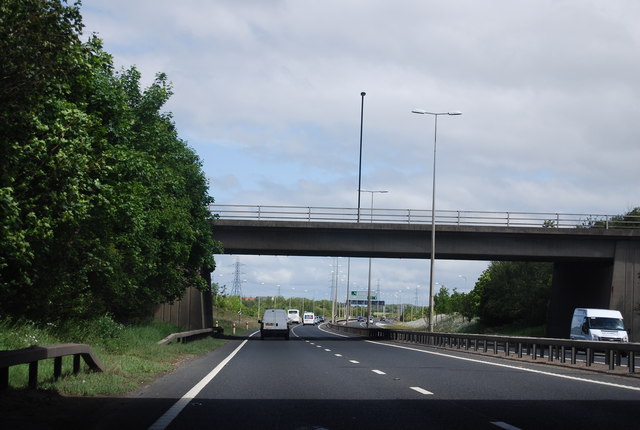
Gosforth junction, A1
The A1 is the longest numbered road in the UK at 410 miles long. It connects London with Edinburgh, via the east of England.
For much of its path it follows the Great North Road the old coaching route between London and Edinburgh. Several sections of the route are classified as motorway A1(M). The modern A1 bypasses the towns the Great North Road passed through and is dual carriageway for most of its route through England.
See other images of A1 & A1(M), Great North Road
 Map © Crown Copyright")
TIP: Click the map for more Large scale mapping
- Grid Square
- NZ2269, 29 images (more nearby 🔍)
- Photographer
- N Chadwick (more nearby)
- Date Taken
- Sunday, 29 May, 2011 (more nearby)
- Submitted
- Wednesday, 31 August, 2011
- Subject Location
-
OSGB36:
 NZ 2238 6957 [10m precision]
WGS84: 55:1.2104N 1:39.0905W - Camera Location
-
OSGB36: NZ 2233 6950
- View Direction
- Northeast (about 45 degrees)