2011
SE3438 : Elmete Lane
taken 13 years ago, near to Shadwell, Leeds, England
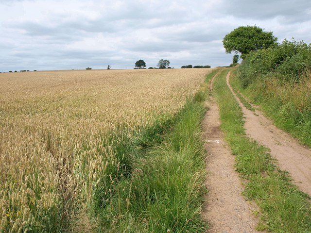
Elmete Lane
A bridleway leading to Shadwell, a little north of its junction with the A6120 behind the camera.
 Map © Crown Copyright")
TIP: Click the map for more Large scale mapping
- Grid Square
- SE3438, 57 images (more nearby 🔍)
- Photographer
- Derek Harper (more nearby)
- Date Taken
- Friday, 29 July, 2011 (more nearby)
- Submitted
- Thursday, 1 September, 2011
- Subject Location
-
OSGB36:
 SE 3410 3881 [10m precision]
WGS84: 53:50.6652N 1:28.9926W - Camera Location
-
OSGB36: SE 3409 3877
- View Direction
- NORTH (about 0 degrees)