2011
SU7373 : Benchmark on St Bartholomew's Church, off London Road
taken 13 years ago, near to Reading, England
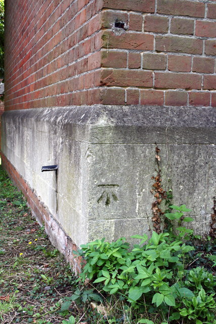
Benchmark on St Bartholomew's Church, off London Road
Ordnance Survey cut mark benchmark described on the Bench Mark Database at Link
 Map © Crown Copyright")
TIP: Click the map for more Large scale mapping
- Grid Square
- SU7373, 286 images (more nearby 🔍)
- Photographer
- Roger Templeman (more nearby)
- Date Taken
- Wednesday, 31 August, 2011 (more nearby)
- Submitted
- Thursday, 1 September, 2011
- Subject Location
-
OSGB36:
 SU 7358 7335 [10m precision]
WGS84: 51:27.2616N 0:56.5458W - Camera Location
-
OSGB36: SU 7358 7335
- View Direction
- South-southeast (about 157 degrees)