2011

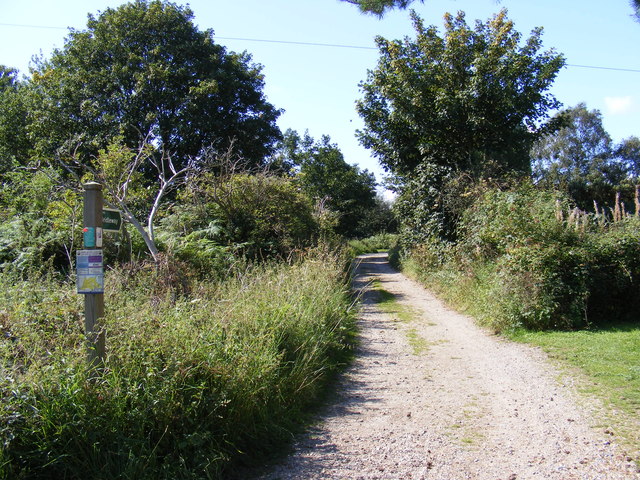
TM4874 : Bridleway to Walberswick Common

taken 13 years ago, near to Walberswick, Suffolk, England

Bridleway to Walberswick Common
Off Palmers Lane

Creative Commons Licence [Some Rights Reserved]   © Copyright Geographer and licensed for reuse under this Creative Commons Licence.
Geographical Context: Paths Primary Subject: Bridleway other tags: Bridleway Click a tag, to view other nearby images.
This photo is linked from: Automatic Clusters: · Walberswick Common [3] · Palmers Lane [2] ·
1:50,000 Modern Day Landranger(TM) Map © Crown Copyright
+
1:50,000 Modern Day Landranger(TM) Map © Crown Copyright
TIP: Click the map for more Large scale mapping
Grid Square
TM4874, 139 images   (more nearby 🔍)
Photographer
Geographer   (more nearby)
Date Taken
Thursday, 1 September, 2011   (more nearby)
Submitted
Thursday, 1 September, 2011
Subject Location
OSGB36: geotagged! TM 4895 7495 [10m precision]
WGS84: 52:18.9693N 1:39.0728E
Camera Location
OSGB36: geotagged! TM 4895 7495
View Direction
West-northwest (about 292 degrees)
Clickable map
+
NW N NE
W Go E
SW S SE
Image classification(about): Geograph
This page has been viewed about 24 times
You are not logged in login | register