2011
TF2651 : Rookery Lane, near Wildmore Kennels
taken 13 years ago, near to Bunker's Hill, Lincolnshire, England
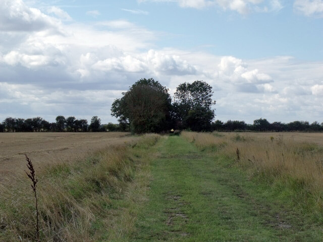
Rookery Lane, near Wildmore Kennels
Hard to believe this is actually a named lane.
 Map © Crown Copyright")
TIP: Click the map for more Large scale mapping
- Grid Square
- TF2651, 2 images (more nearby 🔍)
- Photographer
- J.Hannan-Briggs (more nearby)
- Contributed by
- Julian P Guffogg (more nearby)
- Date Taken
- Sunday, 28 August, 2011 (more nearby)
- Submitted
- Thursday, 1 September, 2011
- Subject Location
-
OSGB36:
 TF 2687 5162 [10m precision]
WGS84: 53:2.8080N 0:6.5338W - Camera Location
-
OSGB36: TF 2694 5168
- View Direction
- Southwest (about 225 degrees)