2011
SU5191 : Didcot : Didcot Power Station
taken 13 years ago, near to Didcot, Oxfordshire, England
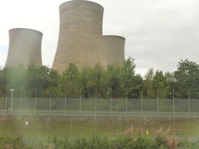
Didcot : Didcot Power Station
Didcot Power Station refers to a combined coal and oil power plant (Didcot A Power Station) and a natural-gas power plant (Didcot B Power Station) that supply the National Grid.
 Map © Crown Copyright")
TIP: Click the map for more Large scale mapping
- Grid Square
- SU5191, 85 images (more nearby 🔍)
- Photographer
- Lewis Clarke (more nearby)
- Date Taken
- Sunday, 28 August, 2011 (more nearby)
- Submitted
- Friday, 2 September, 2011
- Subject Location
-
OSGB36:
 SU 5118 9131 [10m precision]
WGS84: 51:37.0977N 1:15.7302W - Camera Location
-
OSGB36: SU 51007 91139
- View Direction
- Northeast (about 45 degrees)