2011
SO3116 : Crossroads, Llantilio Pertholey
taken 13 years ago, near to Llantillio Pertholey, Monmouthshire/Sir Fynwy, Wales
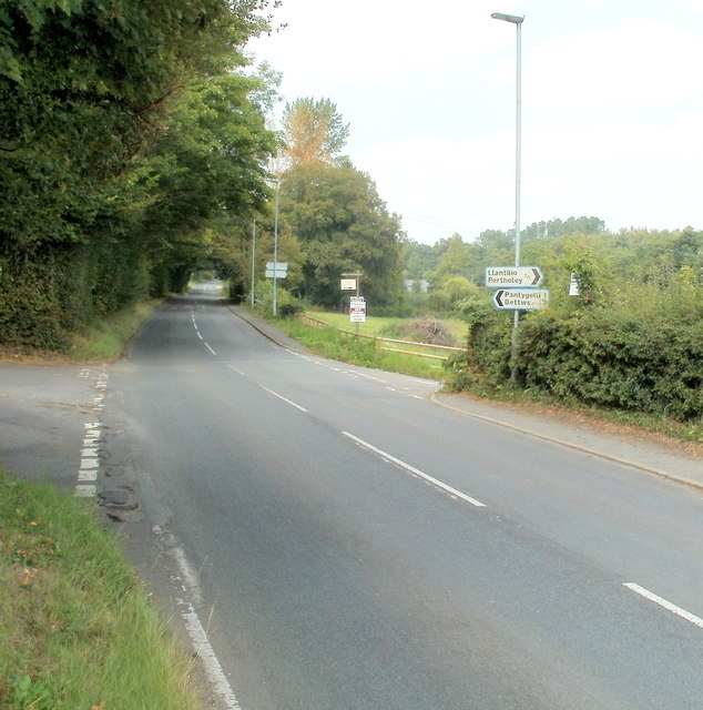
Crossroads, Llantilio Pertholey
The main road, straight ahead, is Hereford Road. On the left is the road to Pantygelli and Bettws; on the right, the road to the hamlet of Llantilio Pertholey.
 Map © Crown Copyright")
TIP: Click the map for more Large scale mapping
- Grid Square
- SO3116, 52 images (more nearby 🔍)
- Photographer
- Jaggery (more nearby)
- Date Taken
- Thursday, 1 September, 2011 (more nearby)
- Submitted
- Friday, 2 September, 2011
- Subject Location
-
OSGB36:
 SO 310 163 [100m precision]
WGS84: 51:50.4613N 3:0.1760W - Camera Location
-
OSGB36: SO 310 163
- View Direction
- NORTH (about 0 degrees)