2011
ST9245 : 2011 : Military Range boundary marker
taken 13 years ago, near to Norton Bavant, Wiltshire, England
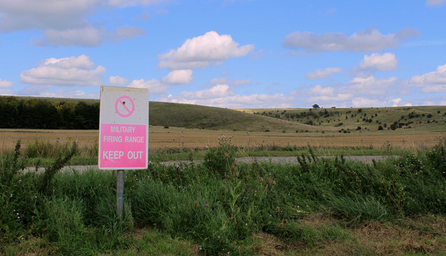
2011 : Military Range boundary marker
Somewhat faded.
Norton Down behind.
Norton Down behind.
 Map © Crown Copyright")
TIP: Click the map for more Large scale mapping
- Grid Square
- ST9245, 7 images (more nearby 🔍)
- Photographer
- Maurice Pullin (more nearby)
- Date Taken
- Wednesday, 24 August, 2011 (more nearby)
- Submitted
- Friday, 2 September, 2011
- Subject Location
-
OSGB36:
 ST 9201 4516 [10m precision]
WGS84: 51:12.3355N 2:6.9451W - Camera Location
-
OSGB36: ST 92003 45150
- View Direction
- North-northeast (about 22 degrees)