2011
TQ3170 : Norwood Grove
taken 13 years ago, near to West Norwood, Croydon, England
This is 1 of 11 images, with title Norwood Grove in this square
Norwood Grove
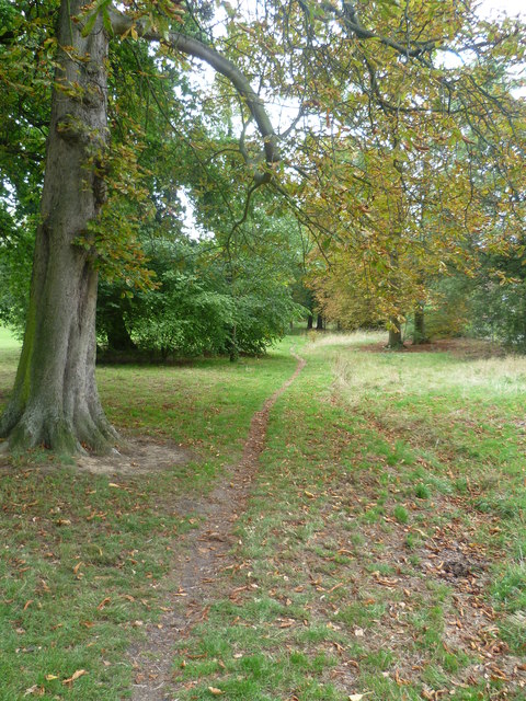
Until 1635, Norwood Grove formed part of the Great Streatham Common, which was referred to in the Domesday Book as Lime Common and stretched from Norbury to Tulse Hill. In that year what is now Norwood Grove became a shooting estate with a lodge for the 5th Duke of Portland. The present mansion was built in the mid 19th century, and soon after it became the residence of Mr. Arthur Anderson, MP, one of the founders of the Peninsular and Oriental Steamship line - the P. & O. After the death of Anderson in 1862, the mansion became the property of the Nettlefold family, the screw manufacturers which became part of Guest, Keen and Nettlefold. The Nettlefolds left in 1913. After the 1914-18 war, the local residents launched a fighting fund to save Norwood Grove from building development and the open space was dedicated for ever to the use of the public by the Prince of Wales at a gala opening in November 1926. The top of Norwood Grove near the house is 300 feet above sea level and gives very wide views to the south and west towards the North Downs and Windsor Castle.
 Map © Crown Copyright")
TIP: Click the map for more Large scale mapping
- Grid Square
- TQ3170, 213 images (more nearby 🔍)
- Photographer
- Marathon (more nearby)
- Date Taken
- Wednesday, 31 August, 2011 (more nearby)
- Submitted
- Friday, 2 September, 2011
- Subject Location
-
OSGB36:
 TQ 3131 7041 [10m precision]
WGS84: 51:25.0504N 0:6.7829W - Camera Location
-
OSGB36: TQ 3126 7037
- View Direction
- Northeast (about 45 degrees)