2011
TQ5887 : Railway line to Upminster
taken 13 years ago, near to Cranham, Havering, England
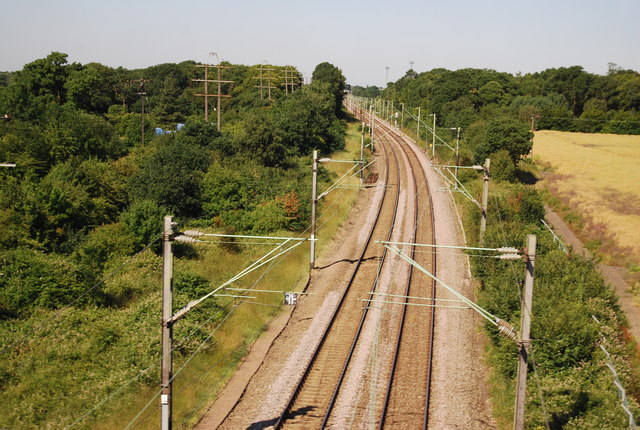
Railway line to Upminster
 Map © Crown Copyright")
TIP: Click the map for more Large scale mapping
- Grid Square
- TQ5887, 43 images (more nearby 🔍)
- Photographer
- N Chadwick (more nearby)
- Date Taken
- Wednesday, 29 June, 2011 (more nearby)
- Submitted
- Sunday, 4 September, 2011
- Subject Location
-
OSGB36:
 TQ 5866 8751 [10m precision]
WGS84: 51:33.8491N 0:17.2583E - Camera Location
-
OSGB36: TQ 5879 8755
- View Direction
- West-southwest (about 247 degrees)