2011
SU8421 : Waymarker for five way junction on Trotton Common
taken 13 years ago, near to Chithurst, West Sussex, England
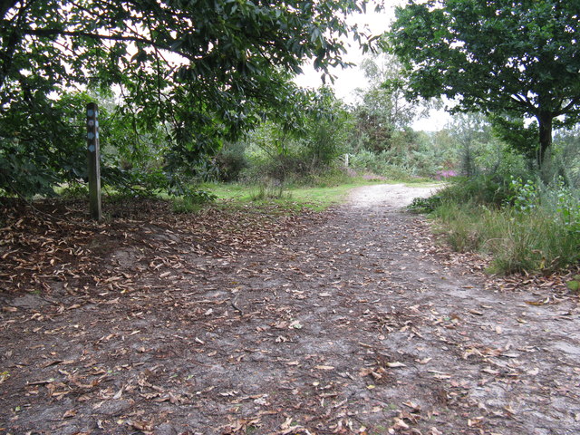
Waymarker for five way junction on Trotton Common
 Map © Crown Copyright")
TIP: Click the map for more Large scale mapping
- Grid Square
- SU8421, 51 images (more nearby 🔍)
- Photographer
- Dave Spicer (more nearby)
- Date Taken
- Monday, 29 August, 2011 (more nearby)
- Submitted
- Monday, 5 September, 2011
- Subject Location
-
OSGB36:
 SU 8427 2181 [10m precision]
WGS84: 50:59.3719N 0:48.0428W - Camera Location
-
OSGB36: SU 8426 2179
- View Direction
- North-northeast (about 22 degrees)