2011
SO3467 : Lane at The Raft
taken 13 years ago, near to Lingen, County of Herefordshire, England
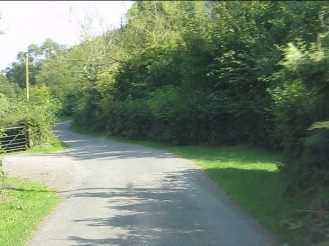
Lane at The Raft
 Map © Crown Copyright")
TIP: Click the map for more Large scale mapping
- Grid Square
- SO3467, 14 images (more nearby 🔍)
- Photographer
- Peter Whatley (more nearby)
- Date Taken
- Thursday, 1 September, 2011 (more nearby)
- Submitted
- Monday, 5 September, 2011
- Subject Location
-
OSGB36:
 SO 3471 6715 [10m precision]
WGS84: 52:17.9146N 2:57.5302W - Camera Location
-
OSGB36: SO 3465 6715
- View Direction
- EAST (about 90 degrees)