2011
SO3858 : A44 in Pembridge
taken 13 years ago, near to Pembridge, County of Herefordshire, England
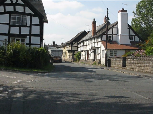
A44 in Pembridge
 Map © Crown Copyright")
TIP: Click the map for more Large scale mapping
- Grid Square
- SO3858, 69 images (more nearby 🔍)
- Photographer
- Peter Whatley (more nearby)
- Date Taken
- Thursday, 1 September, 2011 (more nearby)
- Submitted
- Tuesday, 6 September, 2011
- Subject Location
-
OSGB36:
 SO 3884 5812 [10m precision]
WGS84: 52:13.0728N 2:53.7986W - Camera Location
-
OSGB36: SO 3893 5812
- View Direction
- WEST (about 270 degrees)