2011

TL6366 : A14 heading east

taken 13 years ago, near to Snailwell, Cambridgeshire, England
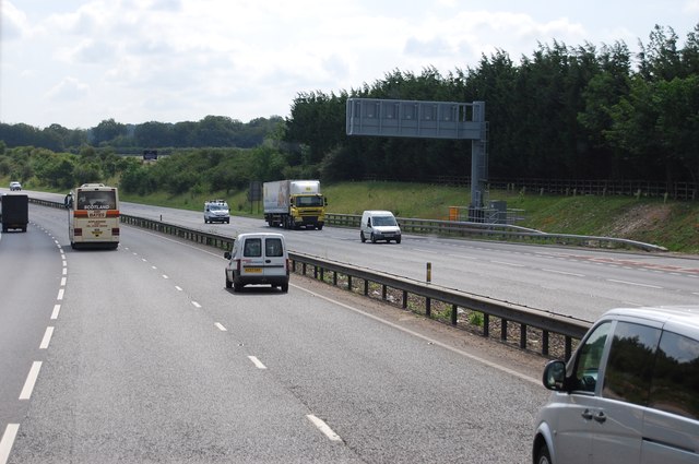
A14 heading east
A14 heading east
The A14 is a major road running 127 miles from Felixstowe to the Catthorpe Interchange, the junction of the M1 and M6 motorways near Rugby. The road connects East Anglia with the West Midlands and The North.
Wikipedia: LinkExternal link

See other images of A14 Road

Creative Commons Licence [Some Rights Reserved]   © Copyright N Chadwick and licensed for reuse under this Creative Commons Licence.
Geographical Context: Roads, Road transport
This photo is linked from: Automatic Clusters: · A14 [12] · East [2] · Heading [2] ·
1:50,000 Modern Day Landranger(TM) Map © Crown Copyright
+
+
1:50,000 Modern Day Landranger(TM) Map © Crown Copyright
TIP: Click the map for more Large scale mapping
Grid Square
TL6366, 33 images   (more nearby 🔍)
Photographer
N Chadwick   (more nearby)
Date Taken
Wednesday, 29 June, 2011   (more nearby)
Submitted
Tuesday, 6 September, 2011
Subject Location
OSGB36: geotagged! TL 6387 6609 [10m precision]
WGS84: 52:16.1130N 0:24.0058E
Camera Location
OSGB36: geotagged! TL 6379 6607
View Direction
EAST (about 90 degrees)
Clickable map
+
NW N NE
W Go E
SW S SE
Image classification(about): Geograph
This page has been viewed about 22 times
You are not logged in login | register