2011
TR0727 : St Mary's Road junction with School Farm Lane
taken 13 years ago, near to St Mary in The Marsh, Kent, England
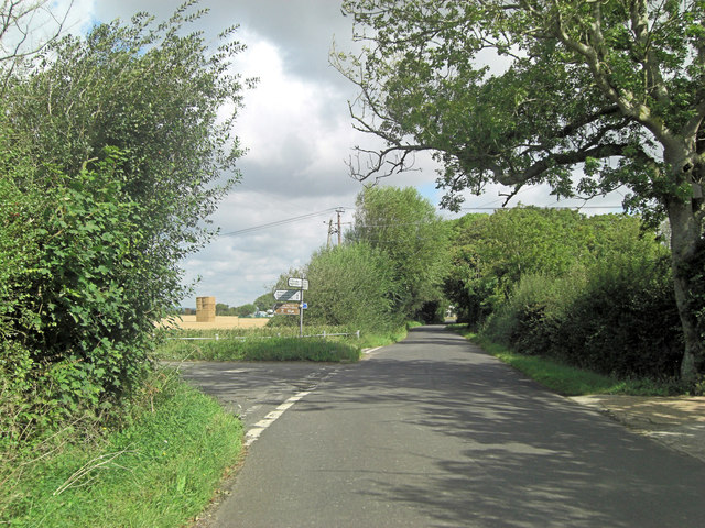
St Mary's Road junction with School Farm Lane
As the signpost says, it's left to St Mary in the Marsh Church (hence the name of this lane?) or, for those of another persuasion, The Star Inn.
 Map © Crown Copyright")
TIP: Click the map for more Large scale mapping
- Grid Square
- TR0727, 65 images (more nearby 🔍)
- Photographer
- Stuart Logan (more nearby)
- Date Taken
- Saturday, 27 August, 2011 (more nearby)
- Submitted
- Tuesday, 6 September, 2011
- Subject Location
-
OSGB36:
 TR 0711 2746 [10m precision]
WGS84: 51:0.5534N 0:57.0575E - Camera Location
-
OSGB36: TR 0713 2742
- View Direction
- North-northwest (about 337 degrees)