2011
ST5645 : Wells Golf Club
taken 13 years ago, near to South Horrington, Somerset, England
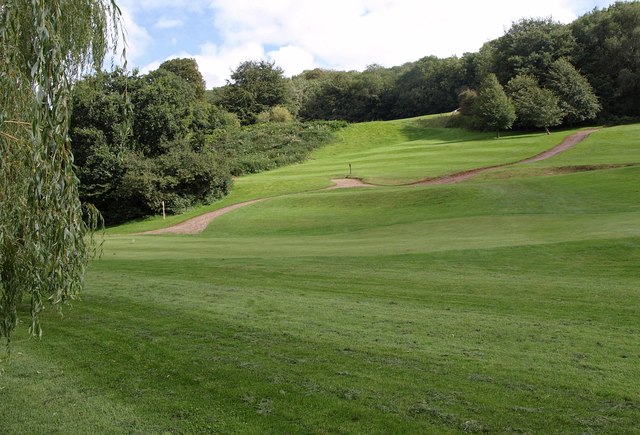
Wells Golf Club
Crossed by footpath WS 10/45C, and, according to the map I was carrying (2004 vintage) by footpath WS 10/44, though not according to the club members I encountered en route. Above is King's Castle Wood.
 Map © Crown Copyright")
TIP: Click the map for more Large scale mapping
- Grid Square
- ST5645, 27 images (more nearby 🔍)
- Photographer
- Derek Harper (more nearby)
- Date Taken
- Tuesday, 16 August, 2011 (more nearby)
- Submitted
- Wednesday, 7 September, 2011
- Subject Location
-
OSGB36:
 ST 5657 4578 [10m precision]
WGS84: 51:12.5739N 2:37.3860W - Camera Location
-
OSGB36: ST 5654 4582
- View Direction
- Southeast (about 135 degrees)