2011
SX9255 : Waterman's Arms, Brixham
taken 13 years ago, near to Brixham, Torbay, England
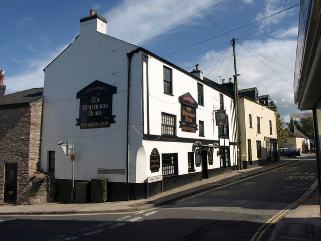
Waterman's Arms, Brixham
The corner of the pub appears in SX9155 : St Mary's Square, Brixham. The building dates from the C17 Link .
.
 Map © Crown Copyright")
TIP: Click the map for more Large scale mapping
- Grid Square
- SX9255, 121 images (more nearby 🔍)
- Photographer
- Derek Harper (more nearby)
- Date Taken
- Sunday, 4 September, 2011 (more nearby)
- Submitted
- Thursday, 8 September, 2011
- Subject Location
-
OSGB36:
 SX 9201 5511 [10m precision]
WGS84: 50:23.1559N 3:31.2219W - Camera Location
-
OSGB36: SX 9200 5510
- View Direction
- East-northeast (about 67 degrees)