2011
TL6918 : Footbridge across River Ter
taken 13 years ago, near to Hartford End, Essex, England
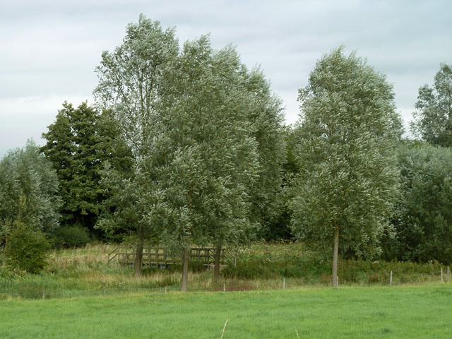
Footbridge across River Ter
The Ter here was anciently run through a chain of fish ponds belonging to Leez Priory. Most are now dry. The bridge carries a public footpath on the line of the low dam of one of them.
 Map © Crown Copyright")
TIP: Click the map for more Large scale mapping
- Grid Square
- TL6918, 10 images (more nearby 🔍)
- Photographer
- Robin Webster (more nearby)
- Date Taken
- Thursday, 8 September, 2011 (more nearby)
- Submitted
- Friday, 9 September, 2011
- Subject Location
-
OSGB36:
 TL 6979 1865 [10m precision]
WGS84: 51:50.4384N 0:27.7926E - Camera Location
-
OSGB36: TL 69717 18589
- View Direction
- Northeast (about 45 degrees)