2011
NG2244 : South east from Healabhal Mhòr
taken 13 years ago, 4 km S of Skinidin/Sgianaidin, Isle of Skye, Scotland
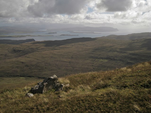
South east from Healabhal Mhòr
Not quite a summit view - the hill has a large flattish top, and this is a view over the edge. Although the distant Cuillin are lost in the haze, islands in Loch Bracadale can be picked out.
 Map © Crown Copyright")
TIP: Click the map for more Large scale mapping
- Grid Square
- NG2244, 21 images (more nearby 🔍)
- Photographer
- Richard Dorrell (more nearby)
- Date Taken
- Thursday, 8 September, 2011 (more nearby)
- Submitted
- Friday, 9 September, 2011
- Subject Location
-
OSGB36:
 NG 2229 4445 [10m precision]
WGS84: 57:24.3199N 6:37.5303W - Camera Location
-
OSGB36: NG 22299 44449
- View Direction
- Southeast (about 135 degrees)