2011
NN8768 : Road in Glen Tilt
taken 13 years ago, 3 km from Bridge of Tilt, Perth And Kinross, Scotland
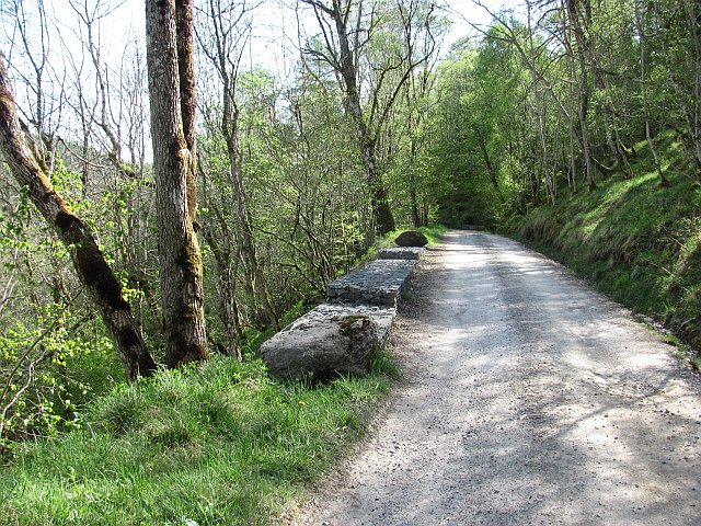
Road in Glen Tilt
At this point, the road is high above the river which is cutting down steeply towards the level of the Garry at Blair Atholl.
 Map © Crown Copyright")
TIP: Click the map for more Large scale mapping
- Grid Square
- NN8768, 22 images (more nearby 🔍)
- Photographer
- Richard Webb (more nearby)
- Date Taken
- Monday, 2 May, 2011 (more nearby)
- Submitted
- Friday, 9 September, 2011
- Subject Location
-
OSGB36:
 NN 8791 6825 [10m precision]
WGS84: 56:47.5351N 3:50.1986W - Camera Location
-
OSGB36: NN 8793 6830
- View Direction
- South-southwest (about 202 degrees)