2011
TR0161 : South Street
taken 13 years ago, near to Faversham, Kent, England
This is 1 of 2 images, with title starting with South Street in this square
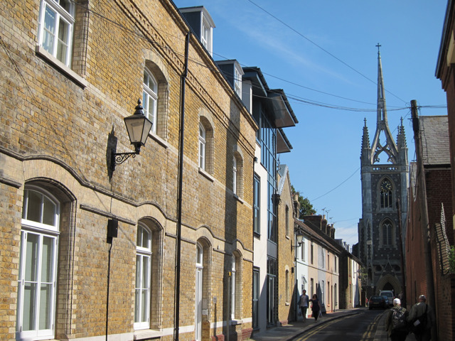
South Street
Terraced residential road leading to Church of St. Mary of Charity.
 Map © Crown Copyright")
TIP: Click the map for more Large scale mapping
- Grid Square
- TR0161, 1908 images (more nearby 🔍)
- Photographer
- Oast House Archive (more nearby)
- Date Taken
- Saturday, 3 September, 2011 (more nearby)
- Submitted
- Friday, 9 September, 2011
- Subject Location
-
OSGB36:
 TR 017 615 [100m precision]
WGS84: 51:19.0477N 0:53.6093E - Camera Location
-
OSGB36: TR 016 615
- View Direction
- East-southeast (about 112 degrees)